
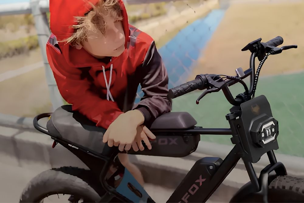
Cycling does not have to be just another outdoor activity. It can also become a natural learning experience. For kids, neighborhood streets, school routes, park paths, corner stores, and familiar intersections are real-world places to understand maps, direction, distance, time, and safety judgment.
Learning activities do not always need special supplies. A short neighborhood ride can help kids practice reading a map, estimating distance, observing their surroundings, recording a route, and connecting math and science to everyday life. Compared with doing a worksheet at a desk, this kind of activity makes it easier for kids to see that a map is not just a picture, distance is not just a number, and route choices are not random.
The point is not how far the ride goes. The point is how parents turn the moments before, during, and after the ride into something kids can participate in, think through, and explain in their own words.
Turn an Ordinary Ride Into a Learning Activity
A neighborhood ride can stay simple. The route does not need to be long, and it does not need to feel like a formal lesson. It might be a ride from home to a nearby park, from school to the library, from the entrance of a neighborhood to a sports field, or just a short loop around familiar streets.
What turns it into a learning activity is giving kids a small job before they start. For example:
- Today we are going to find the safest route.
- Today we are going to record five landmarks.
- Today we are going to estimate how far it is from home to the park.
- Today we are going to notice hills, traffic lights, and places where we need to slow down.
- Today we are going to draw our own route map when we get back.
These tasks do not have to be complicated. They help kids shift from simply being taken somewhere to actively observing. They begin to notice direction, street names, intersections, distance, and time, and they get a clearer sense of how they move from one place to another.
For younger kids, the focus can be observation and memory. For older kids, parents can add route comparison, timing, distance estimates, and simple calculations.
Before the Ride: Help Kids Read the Route First
Before heading out, parents can open a paper map or phone map and ask kids to look at the starting point and destination. Instead of immediately telling them where to go, ask a few questions:
- Where do you think we are right now?
- Which direction is the destination?
- How many turns do we need to make?
- Is there a shorter route?
- Is the shorter route always safer?
- Where might we need to stop and look carefully?
When kids see a route on a map and then travel it in the real world, the connection becomes much easier to understand. They may notice that a short line on a map can include hills, stoplights, traffic, parking lots, or streets without sidewalks.
This also helps kids understand landmarks. Parents can point out schools, playgrounds, stores, trees, bus stops, bridges, corner buildings, and street signs. For many kids, landmarks are easier to remember than abstract directions. Once they recognize landmarks, it becomes easier to understand north, south, east, west, block patterns, and route order.
If a child can already read a simple map, let them point out the route first, then help decide whether it is a good choice. That teaches them that route planning is not just about what is closest. It also involves safety, familiarity, and control.
During the Ride: Turn Observation Into a Small Mission
During the ride, observation is often the easiest skill to build. Parents do not need to explain everything the whole time. A simple challenge can keep kids alert and engaged.
Ask them to find:
- Three clear landmarks
- Two places where riders should slow down
- One place that is not a good spot to cross
- Traffic lights or stop signs
- The flattest part of the route and the part with the most slope
- Places with a bike lane, sidewalk, or park path
These observations connect naturally to science and safety. Kids begin to notice road surfaces, hills, shade, traffic flow, sound, and visibility. They may also realize that different routes feel different. One road may be shorter but busier; another may take a little longer but feel calmer and easier to understand.
If parents are comparing different transportation options with their kids, they can also discuss the difference between a regular bicycle and an e-bike. A regular bike depends more on physical effort, while an electric bike requires more attention to speed control, starts, and braking. No matter what tool is being used, route safety should come first.
That helps kids think beyond “Which is faster?” and move toward “Is this route a good fit?”
Use Distance, Time, and Speed for Simple STEM Practice
After the ride, the same route can become a simple STEM activity. Kids have just experienced the route themselves, so the numbers feel less abstract.
Parents can ask:
- How many minutes did it take us to get from home to the park?
- How far do you think that route was?
- Would walking take longer?
- Would taking the bus require waiting?
- Which part felt slowest, and why?
If the child is old enough, parents can add light math. For example, if the ride to the library took 12 minutes and the map shows the distance is about one mile, that opens the door to a simple conversation about average speed. Kids can also compare walking, biking, public transit, and short city rides.
The goal is not to turn the ride into a formal math lesson. The goal is to help kids understand that time, distance, and speed are not isolated concepts. They shape real choices.
A simple route log can help:
- Starting point: Home
- Destination: Park
- Time: About 12 minutes
- Landmarks noticed: School, traffic light, store
- Safest section: Park-side path
- Places to watch carefully: Intersection and parking lot exit
- Would we choose this route again? Yes or no, and why?
This turns the ride into math practice, observation practice, and a chance for kids to explain their thinking.
Route Choices Can Also Build Safety Judgment
Map activities are not only about direction. They can also help kids build safety judgment. Many kids assume the shortest route is the best route, but real travel does not always work that way.
Parents can compare two possible routes:
- Which one is shorter?
- Which one has fewer intersections?
- Which one has less traffic?
- Which one has clearer sidewalks or bike lanes?
- Which one has better lighting?
- Which one would be better in bad weather?
- Which one would be easier for a child to remember when walking or riding alone?
This comparison matters. Kids slowly learn that route choice is a judgment call, not just a distance problem.
Short city rides often include intersections, pedestrians, traffic, parking spots, and visibility issues. Whether a child is learning a regular bike route or a parent is looking into a city electric bike for urban commuting, route planning should come before the tool itself. A steadier, more manageable ride usually starts with clear route judgment, not simply with the vehicle being used.
Parents can also let kids score a route. For example, safety from 1 to 5, familiarity from 1 to 5, and difficulty from 1 to 5. After kids give a score, ask them to explain why. This encourages active thinking instead of simply following instructions.
After the Ride: Let Kids Draw Their Own Route Map
After the ride, one of the best follow-up activities is drawing a route map. It does not need to look professional. It only needs to show the route order, major landmarks, and places that require attention.
Kids can draw:
- The starting point and destination
- Main turns
- Traffic lights or stop signs
- Parks, schools, stores, or other landmarks
- The safest sections
- Places to be careful
- A route they want to try next time
The map can become a writing activity too. Ask kids to write a few sentences: “Why did I choose this route?” “Which part felt safest?” “What should I remember next time?” That is more useful than simply asking whether the ride was fun because it helps kids organize observations, explain decisions, and give reasons.
It can also become a science activity. Kids can record trees, weather, shadows, slopes, and road surfaces they noticed along the way. They may discover that the same route feels different in the morning, afternoon, rain, or bright sun.
If they do this more than once, they can compare different route maps over time. Little by little, they build their own neighborhood map and a better understanding of the place where they live.
Final Thoughts
A neighborhood ride can be short and simple, but it is not just movement. With a little structure, it can become an activity that builds map skills, math thinking, science observation, and safety judgment.
Kids learn the route by riding it. They understand the map through the route. They make sense of numbers through time and distance. They also build stronger real-world judgment by noticing intersections, traffic, and landmarks.
Parents do not need to turn the activity into a formal class. When kids help choose the route before leaving, observe carefully during the ride, and draw or review the route afterward, an ordinary ride can become a meaningful everyday learning experience.
